终于把几座山的计划摆上日程,今天做麦金利峰(6194 m),现在加团大部分价格在7500美金左右,大概安排在三周左右,时间有点儿过长,决定还是独立攀登。
看了一下Anchorage有家公司专门给有经验的登山者提供后勤服务,可以提前订好够15天的食物,食物还可以天数增减,他们帮你到大本营。至于登山许可证,在出发日期前60天直接在网上填个表格申请就行,如果是一个人登山,还得专门填一个solo climbing form, 在下面的red tape部分链接直接点过去就可以下载,许可证是NPS Ranger管理的,是阿拉斯加的国家公园服务中心。
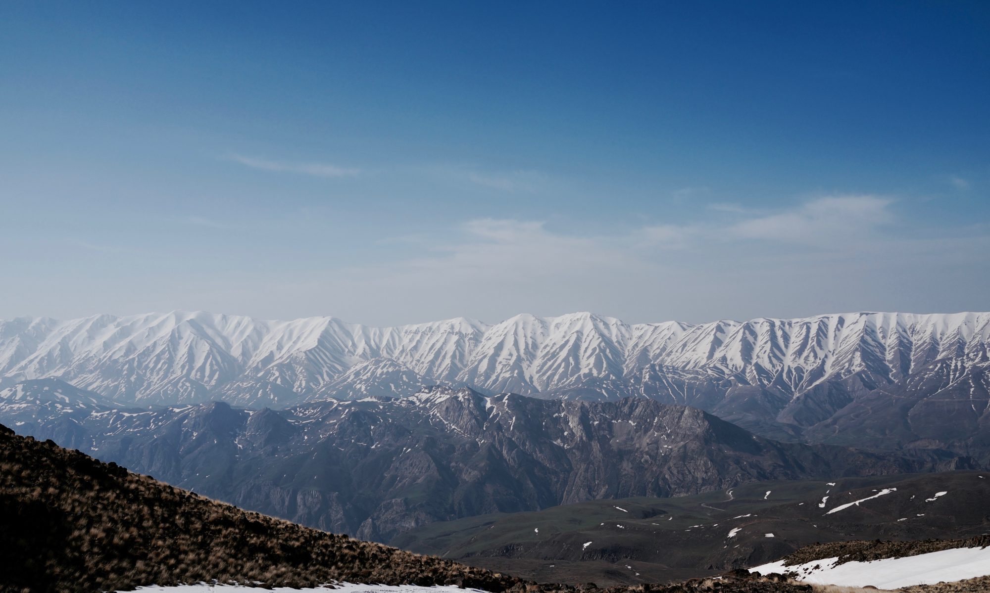
大部分的登山者坐飞机阿拉斯加的港口城市Anchorage,然后再到开车或者火车到Talkeetna, 车程大概185km,2-3个小时的时间。从Takeetna, 大部分的登山者会打个飞的(出租机,lol)到达位于Kahiltna冰川东南部的大本营,海拔大约2380米。麦金利峰是世界上突起度最高的山之一,在阿拉斯加平原拔地而起。所以6千米出头的山大部分人如果走West Buttress需要设4-5个营地。
Mount McKinley Plan
If join guided tours, most of the tours charge 7000+ USD for the trip, as of summer 2014.
Self organized trip:
Red Tape:
Climbing permit: 360 usd, register with the Talkeetna Ranger Station at least 60 days before starting, register online here.
必须用NPS专用的屎盆子clean mountain can (CMC) ,下山后要归还。
Logistic Supply: Exposure Alaska, Food for 15 days available.
Details about supply http://www.exposurealaska.com/denali%20climb.htm![]()
![]()
Air Taxi companies from Talkeetna to Base Camp, cost around 500 usd for round trip.
Talkeetna Air Taxi, Kantishna Air Taxi, Fly Denali, Inc.
Climbing days planning
D1, Fly to Anchorage, pick up food and supply
D2, Transport to Talkeetna, take Air taxi to Kahiltna Glacier, set up at Base camp (2200m), which locates at southeast fork of the Kahiltna Glacier.
D3, Walk up to Ski Hill Camp (2380m), set up tent, tour up to 11k camp(11,000’,3353m), carry half supply up, stay for an hour for acclimatization, ski back down to Ski Hill Camp ( 2380m), stay over night.
Distance: 8.9km + 6.5 km
Elevation Gain: 305m + 976m
Elevation Loss: 121m.
Descend Heartbreak Hill and ascend the main Kahiltna Glacier to 7,800’/2380m. It is common to travel at night to avoid the heat and increased danger of falling into crevasses.
D4, From Ski hill camp (7,800’, 2380m) to 11k camp (11,000’,3353m)
Distance: 4.0 miles, 6.5km
Elevation Gain: 3200’, 976m
Climb Ski Hill, then turn east below Kahiltna Pass and north just below 11,000’. Unacclimatized climbers should take at least three days to get to 11,000’ in order prevent altitude-related illness.![]()
D5, From 11k camp (11,000’,3353m)to 14k camp (14,200’, 4328m)
Distance: 2.8 miles, 4.5 km
Elevation Gain: 3,200’, 976m
Climb Motorcycle Hill, traverse north of Squirrel Point, navigate around Windy Corner and up to 14,200’. Most people double carry above 11,000’ in order to aid acclimatization. A popular cache site is at 13,500’ just beyond Windy Corner.
D6, From 14k camp (14,200’, 4328m) to The crow’s nest camp (17,200’, 5243m)
Distance: 1.8 miles, 2.9 km
Elevation Gain: 3,000’, 914m.
Climb a moderate slope to the base of the 55° headwall (15,400’). The headwall has two fixed lines unofficially maintained by the guiding companies. The right (east) is for the ascent and the left (west) is for the descent. Climb the headwall and gain the West Buttress. This is the steepest section & the crux of the entire route. Use of an ascender will assist the climb, but is not necessary. Follow the West Buttress east to 17,200’.
D7, From The crow’s nest camp (17,200’, 5243m)to Summit (20320 ft / 6194m)
Distance: 2.5 miles, 4.1 km
Elevation Gain: 3,120’, 951m
Ascend just south of Denali Pass (18,200′), follow the ridge south-southeast to the Football Field (~19,500′). Climb Pig Hill to Kahiltna Horn. Follow the summit ridge to the summit, ski all the way down to base camp.
